Mount Agung hike — Bali's most sacred mountain
Mount Agung (Gunung Agung) stands at 3,031 metres — the highest peak in Bali and the spiritual centre of Balinese Hindu cosmology. Every temple in Bali is aligned to face Agung; the mountain is believed to be the seat of the gods and the axis around which the island revolves. Climbing it is therefore both an athletic challenge and a profound cultural act.
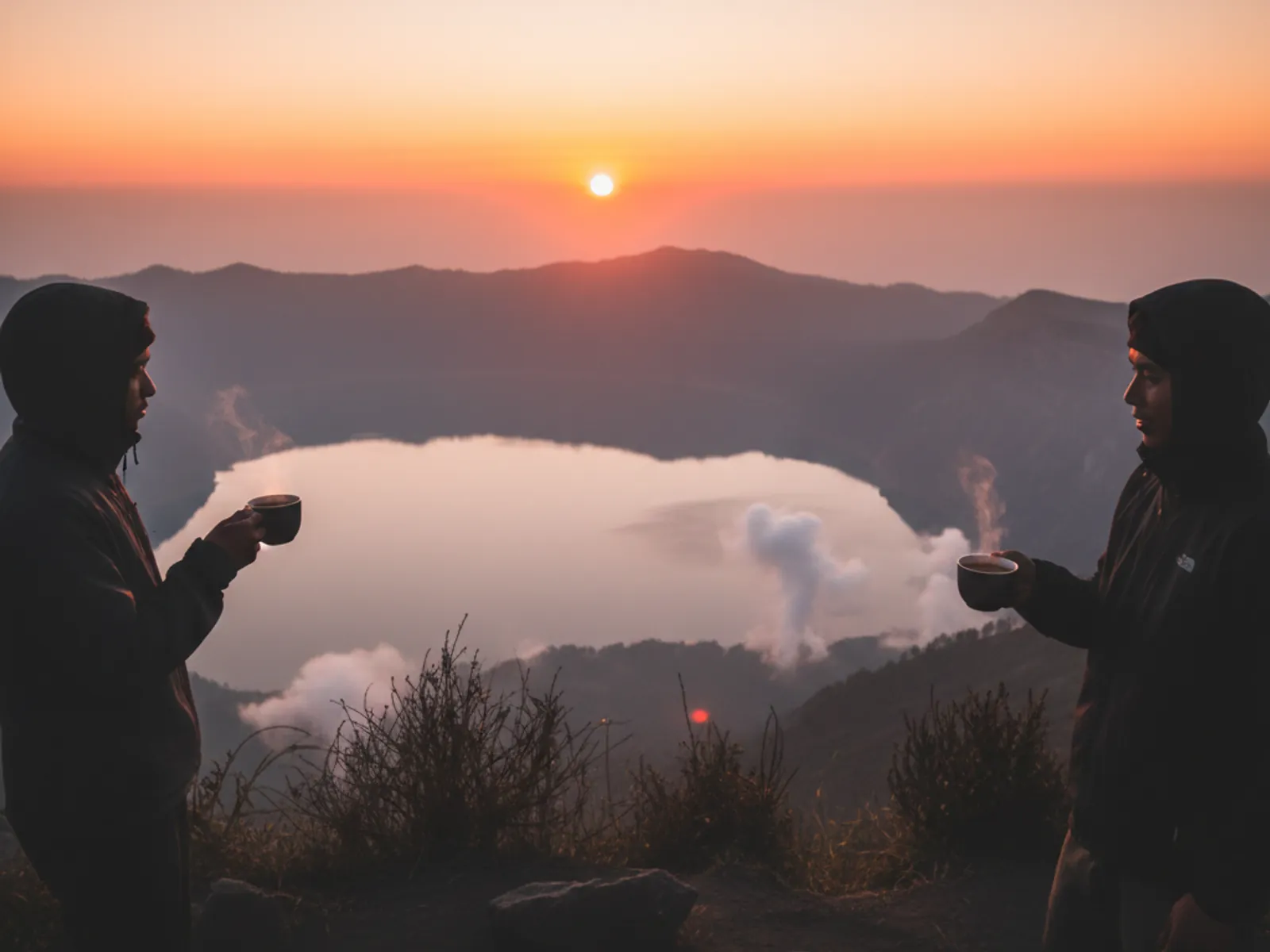
Unlike Mount Batur, Agung is a serious mountain. The ascent involves 6–8 hours of climbing through dense jungle, open lava fields, crumbling volcanic scree and, near the summit, very steep loose terrain where hands are needed for balance. The view from the crater rim — when clear — stretches to Lombok, Penida and across all of Bali.
Agung erupted significantly in 2017–2018, displacing thousands of residents and closing the mountain for months. Since then the mountain has been re-opened to trekking with a modified alert level monitoring system by PVMBG. The current alert status should always be checked via MAGMA Indonesia before booking any Agung trek.
There are two primary routes: the Besakih route (longer, reaching the true summit at 3,031m) and the Pura Pasar Agung route from Selat village (shorter, reaching the lower crater rim at approximately 2,800m). Both require a registered guide. The Besakih route should only be attempted by hikers with prior high-altitude trekking experience.
The two routes compared
| Factor | Besakih Route | Pura Pasar Agung Route |
|---|---|---|
| Summit reached | 3,031m (true summit) | ~2,800m (lower crater rim) |
| One-way distance | Approximately 9km | Approximately 5km |
| Ascent time | 6–8 hours | 4–5 hours |
| Total round trip | 10–14 hours | 7–9 hours |
| Difficulty | Very challenging | Challenging |
| Starting point | Besakih Temple complex | Selat village, Karangasem |
| Best for | Experienced trekkers | First Agung attempt |
| Drive from Ubud | ~2 hours | ~1.5 hours |
What the climb actually involves
Phase 1 — Jungle ascent (first 2–3 hours)
Dense tropical rainforest on steep terrain. The path is well-worn but roots and loose earth make footing variable. Temperature drops noticeably as you ascend. Wildlife including birds and occasionally monkeys. This phase is demanding but manageable.
Phase 2 — Lava fields and scrub (hours 3–4)
The vegetation thins to scrubby bushes and exposed volcanic rock. Views begin to open. The gradient increases. The 2017–2018 eruption left visible lava channels on this section of the Besakih route.
Phase 3 — Crater approach (final 1.5–2 hours)
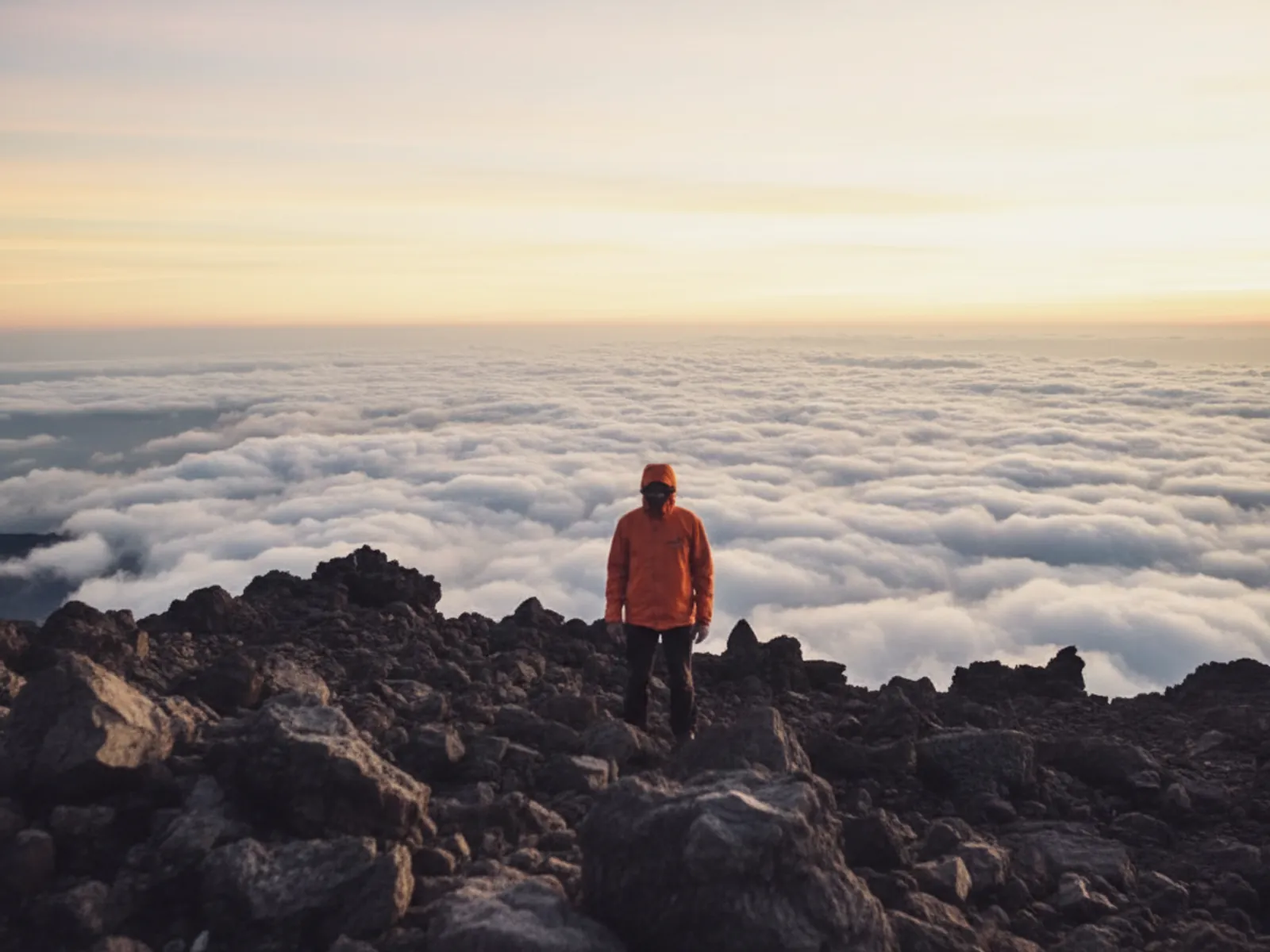
Loose volcanic scree and boulder scrambling. Hands are needed in sections. The altitude means thin air — rest stops are more frequent. The final 200 vertical metres on the Besakih route are the most technically demanding section of any public trek in Bali.
Pricing
| Item | IDR | USD equiv. |
|---|---|---|
| Guided Pura Pasar Agung route (per person) | Rp 750,000 – 1,200,000 | $47 – $75 |
| Guided Besakih route (per person) | Rp 1,000,000 – 1,800,000 | $63 – $113 |
| Private guide (solo or couple) | Rp 1,500,000 – 2,500,000 | $94 – $156 |
| Porters (optional) | Rp 400,000 – 600,000/day | $25 – $38 |
| Donation at Pura Pasar Agung | Rp 50,000 – 100,000 | $3 – $6 |
What to bring
- →Proper hiking boots with ankle support — mandatory, not optional
- →Headlamp with spare batteries (summit in darkness)
- →Warm jacket or down vest (summit temperature 5–10°C)
- →Waterproof layer (rain is possible at any point)
- →Trekking poles (significantly reduce knee strain on descent)
- →At least 3 litres of water
- →High-energy food: dates, trail mix, chocolate, energy gels
- →Gloves for the scrambling sections near the summit
- →Sarong for the temple blessing at Pura Pasar Agung
Best season and conditions
Strictly dry season: June to September. This is non-negotiable for the Besakih route. The trail becomes genuinely dangerous with wet volcanic scree and zero visibility in heavy wet-season cloud. The Pura Pasar Agung route is marginally more forgiving in shoulder months (October–November) but still not recommended in heavy rain.
The best months for clear summit views are July and September. August can have haze from Sumatra and Kalimantan forest fires which reduces visibility even on clear days. Check the PVMBG alert level the day before — Agung is still volcanically active and alert levels change.
Safety considerations
Volcanic alert status: Always check the MAGMA Indonesia PVMBG alert level before booking. Alert Level 1 (Normal) — climbing permitted. Level 2 (Waspada) — climbing not recommended. Level 3–4 — mountain closed.
Fitness requirement: Agung is not Batur. A slow 2-hour Batur climb does not qualify you for an 8-hour Agung ascent. Runners, hikers and active sports participants handle it well. Sedentary travellers should build up to it with at least 3–4 days of Ubud area trekking first.
Altitude effects: At 3,031 metres, mild altitude symptoms (headache, slight nausea) are possible for people coming from sea level. These are generally not serious but add to overall fatigue.
Turning back: Every experienced guide has a personal turnaround policy based on conditions. If your guide says conditions are too dangerous to continue, turn back. The summit will still be there on another day.
Frequently asked questions
Is Mount Agung hike suitable for beginners?
Only if taken on the shorter Pura Pasar Agung route with a good fitness baseline. The Besakih route to the true summit requires prior trekking experience at similar elevation. Be honest about your fitness level when booking.
How different is Agung from Batur?
Significantly different. Batur takes 2 hours on a well-worn trail of volcanic gravel. Agung takes 5–8 hours, gains 1,300+ metres of elevation, involves scrambling on loose rock, and requires proper footwear and cold-weather clothing.
Is Agung safe to climb given recent volcanic activity?
At alert Level 1 (Normal), yes. The mountain has been regularly climbed since the 2017–2018 eruption. Always verify the current PVMBG alert level before your trip — it changes.
Can I see Lombok from the summit?
On clear days, yes. The view from the crater rim is one of the most dramatic in Southeast Asia: you can see Lombok's Rinjani volcano, the Gili Islands, Nusa Penida and nearly all of Bali stretched below you.
Do I need to make a temple offering at the start?
At Pura Pasar Agung, a small donation is conventional and respectful. Your guide will advise. Wearing a sarong at the temple is required.
What is the physical difference between Agung and Rinjani (Lombok)?
Rinjani (3,726m) is higher, longer and involves camping overnight. Agung (3,031m) is a single-day push but nearly as demanding in terrain type. Experienced Rinjani climbers find Agung achievable in a day — inexperienced hikers should not use Rinjani as their benchmark.
Ready to book or have questions?
WhatsApp us directly — free trip planning help, real reply in about 10 minutes.
Message +62 882-4569-741